
Site map
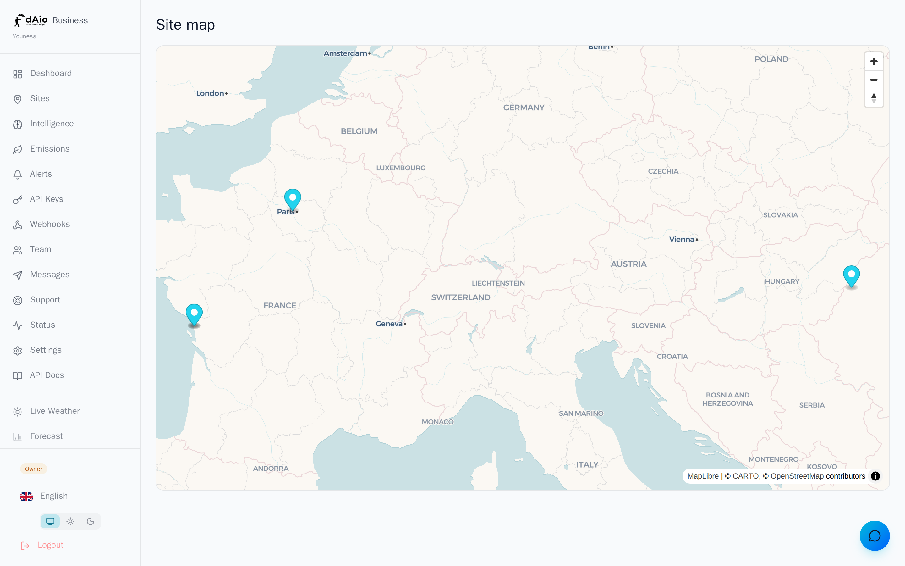
The map brings all your sites together in an interactive geographic view. At a glance, you can locate your sites, spot the ones that need your attention, and access each site's weather intelligence without leaving the map. It is the ideal control tool for multi-site organizations that want to see their exposure on the ground rather than in a table.
Tip: the map is only meaningful if your coordinates are accurate. Before relying on it, make sure each site is correctly positioned from the Sites page.
Overview
The map shows all your sites as geolocated markers. The view adjusts automatically: centered and zoomed on a single site, or framed to encompass all your sites when you monitor several.
Each marker opens an information popup when clicked, containing the site name and direct access to its weather intelligence.
Layers and environmental data
The base map provides geographic context (cities, roads, terrain, hydrography) on which your data is overlaid:
| Element | Role |
|---|---|
| Base map | Readable geographic reference to situate each site in its surroundings. |
| Site markers | Exact position of each monitored site, derived from its coordinates. |
| Intelligence popups | Contextual access to the site's geolocated weather and risk data. |
Tip: use the map to spot sites exposed to the same regional hazard (storm front, heat wave, frost episode) and anticipate a coordinated response.
View a site's intelligence
- Click the marker of the desired site.
- A popup opens with the site name.
- Click View intelligence to open the site's geolocated weather intelligence (forecasts, risk scores, hourly details).
This lets you move from the geographic overview to a site's operational detail in a single click.
Navigating the map
| Action | How |
|---|---|
| Zoom in / out | Mouse wheel or the +/- buttons in the top right. |
| Pan | Drag the map with the mouse or your finger. |
| Reset the framing | Reload the view to automatically refit to all sites. |
Caution: if the map stays empty, no site has been declared yet. First add your sites from the Sites page — the map is built from them.
Who sees what
The map respects your organization's visibility rules. The owner and administrators (admin) see all sites. Other roles only see the sites assigned to them on the map. Each person thus gets a map centered on their actual scope of responsibility.
Best practices
- Keep your coordinates reliable: a misplaced marker distorts the attached intelligence. Check isolated sites from the Sites page.
- Start from the map in the morning: a quick read of your sites points you to the ones to handle first.
- Cross-reference with alerts: combine the map and your alerts to link a hazard to its location and affected sites.
- Name your sites clearly: meaningful labels make information popups immediately usable.
- Assign the right leads: each zone manager gets a map limited to their sites, without unnecessary noise.
Tip: the map is the natural entry point of a multi-site routine. Pair it with intelligence and alerts to turn a geographic view into operational decisions.